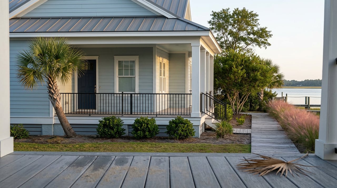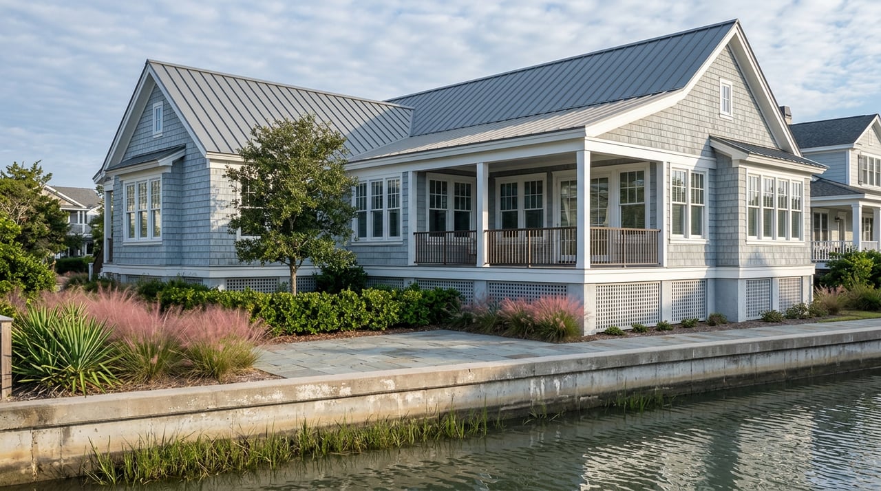
Two canal-front listings go up in Cape Carteret within the same month. Same square footage, same asking price, both photographed at golden hour with a neighbor's boat lift visible just past the property line. One buyer closes, applies for a dock permit, and is building by spring. The other submits the same paperwork and gets a denial letter, because the lot next door owns the water in front of both houses and the second buyer's home sits on the wrong side of a line that never showed up in any photo.
That line is real, it is drawn by the state, and it is the single biggest thing a dock photo in a Cape Carteret listing does not tell you.
The Corridor Line Nobody Draws on the Listing Photo
North Carolina's Coastal Area Management Act sets a standard setback for any pier or dock built along the coast: the structure has to stay at least 15 feet from the property's side boundary lines, extended straight out into the water. That imaginary strip is called a riparian corridor, and it belongs to the lot, not to whoever happens to build in it first.
On a wide lot facing open water, 15 feet on either side barely matters. On a narrow canal lot in Old Cape Carteret, Bayshore Park, or Star Hill, where the town's own waterfront runs along Bogue Sound, Deer Creek, and Pettiford Creek in tight residential cuts, that setback can eat most of the usable frontage. A dock that looks straightforward in a listing photo may simply not fit once the corridor lines are drawn, unless the neighboring owner signs a written waiver agreeing to a shared or adjusted line. Without that signed agreement, the state will not move the boundary for you, and neither will the seller's disclosure.
This is why a boat lift two doors down tells you nothing about your own lot. Corridor lines are drawn parcel by parcel, based on where each property's side boundaries meet the shoreline, not on what already exists nearby.
The Permit Office Is a Town Employee, Not a Distant State Desk
Here is where Cape Carteret works differently than it did even two years ago. In September 2024, the town's Board of Commissioners updated its CRC-approved enforcement plan so that Cape Carteret itself now acts as the Local Permit Officer for CAMA Minor Permits. That means the first review for shoreline work on a house lot, additions, grading, and related development within the estuarine shoreline area, happens at Town Hall on Dolphin Street, not through a state office two counties away.
The application itself is not complicated, but it has specific requirements: a list of every adjacent riparian property owner and their address, direct notification of those neighbors by mail or in person, a signed statement letting the town's permit officer onto the property, and a $100 processing fee. Once the town has a complete application, it has 25 days to decide. If it needs more time, it can send a certified letter extending that window another 25 days, which means a buyer counting on a fast answer should plan for up to seven weeks of pure review time before anyone picks up a hammer.
The dock or pier structure itself is typically a separate layer on top of that, reviewed under the state's general permit standards for piers and docking facilities rather than the town's minor permit process. Industry contractors who build docks along this stretch of coast generally describe that added state-level review as running a few more weeks once a complete application is filed, with a modest permit fee on top of whatever the town charges. Two review layers, two clocks, and neither one starts until the paperwork is complete.
What Living in Cape Carteret Itself Actually Buys You
Water access here is not one flat benefit. It is priced differently depending on whether your deed says Cape Carteret or one of the neighboring towns that share the same stretch of coast.
| Pass Holder | Annual Cost | Ramps Available |
|---|---|---|
| Cape Carteret resident or property owner | $300 (plus $50 for a second pass) | Manatee Street and Bayshore Drive |
| Resident of Bogue, Cedar Point, or Peletier | $600 | Manatee Street only |
A buyer who already owns a boat and lives ten minutes away in Cedar Point pays double for the town's own boat ramp pass and loses access to one of the two ramps entirely. That gap has nothing to do with the water in front of any given house. It is a function of which town issued the deed. For a buyer weighing a Cape Carteret address against a similar lot just across the town line, that is a real, recurring cost difference worth putting next to the purchase price.
Owning the Water Isn't the Same as Owning the Depth
A dock permit answers whether you can build. It says nothing about whether the water in front of your dock is deep enough to use once you have it.
Cape Carteret has direct experience with this problem. Back in 2021, the town funded a dredging project on the channel leading from its Manatee Street boat ramp into Bogue Sound, after boaters reported trouble getting through, according to reporting at the time in Carolina Coast Online. That project shows how a town-maintained channel works: the town identified the shoaling, funded the contract, and got it done. A private or HOA-maintained canal running past a house lot works under a completely different set of rules, or often, no rules at all until the owners agree to pay for one.
Before writing an offer on a canal lot, a buyer needs a straight answer to who is responsible for that specific channel, when it was last dredged, and what the shallowest point is between the dock and open water. Past dredging is not a guarantee of future dredging. Wind direction alone can shift water levels along this part of the sound enough that a route that felt fine on one visit runs thin on another.
What This Means If You're Under Contract on a Water Lot
A few checks turn a nice view into a documented asset:
- Ask the seller for the original CAMA permit covering the existing dock, lift, or bulkhead, along with any later modifications or storm repairs. A permit for the original structure does not automatically cover an addition someone built afterward.
- Confirm whether the dock sits fully within its own riparian corridor, or whether it depends on a signed waiver or shared-pier agreement with the neighboring owner. If that agreement exists, get a copy.
- Ask directly who maintains the channel or canal in front of the house, whether it is a town-maintained channel or a private arrangement, and when it was last dredged.
- Have a marine contractor walk the shoreline before your inspection contingency runs out, not after closing, when there is no leverage left to negotiate.
The price difference between two comparable canal homes in Cape Carteret rarely comes down to square footage. More often it comes down to which one already has a clean permit file and a documented maintenance history, and which one is asking a buyer to take the dock photo on faith.
A Few Straight Answers
Does a dock next door mean I can build one on my own lot? No. Riparian corridor lines are drawn from each property's own side boundaries, extended into the water. A neighbor's dock, even one just a few feet away, tells you nothing about whether your lot has room for its own structure once those lines are drawn.
How long does a Cape Carteret dock permit actually take? Once the town has a complete Minor Permit application, it has 25 days to decide, with the option to extend that once by another 25 days through certified mail. Any separate state-level review of the pier structure itself runs on its own timeline on top of that.
Who pays to keep a private canal navigable? It depends entirely on what agreement is already in place. Some channels, like the one at the Manatee Street ramp, have been town-funded projects. Private canals typically rely on the owners along them to agree on cost and timing, and there is no default guarantee that a canal dredged once will be dredged again.
Water lots in Cape Carteret reward buyers who ask these questions before they write an offer, not after. If you are comparing listings along Bogue Sound, Deer Creek, or Pettiford Creek and want a second set of eyes on what a specific dock claim actually means for that parcel, Turn-Key Realty works these permit files and canal histories with buyers regularly, and can help you get answers before your contingency clock starts running out.